Showing posts with label hike. Show all posts

Saturday, August 20, 2016

Yosemite Chronicles: Seven Weeks of Hiking

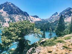
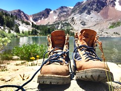
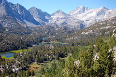
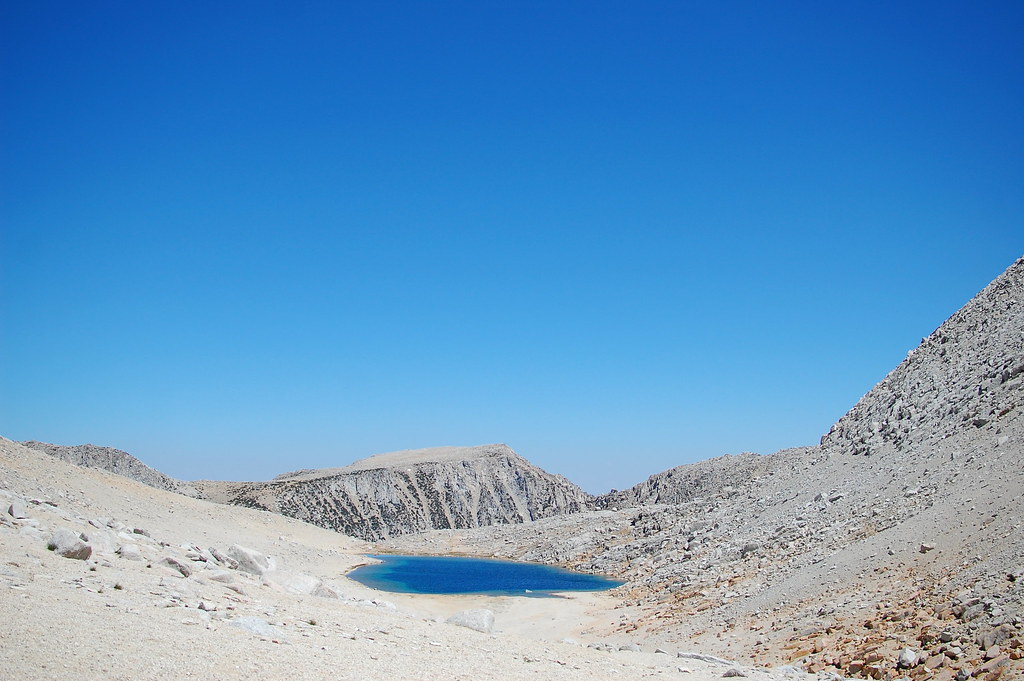
The question I’m most often asked by those I meet on my trip is, “What hike was your favorite, so far?” How can I choose a favorite trail? Some have amazing views. Some have historical interest. Some were bursting with wildflowers. Some were blissfully devoid of other hikers. I can’t choose. I can only list those I’ve done, so far.

Yosemite National Park
Rancheria Falls: 12.7 miles, 2568 feet elevation gain
Poopenaut Valley: 2.2+ miles, 1263 feet elevation gain
May Lake: 2.4 miles, 501 feet elevation gain


Mono Basin National Forest Scenic Area
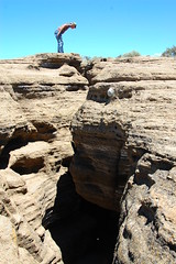
Black Point Fissures: 3.43 miles, 400 feet elevation gain


Hoover Wilderness
Virginia Lakes: 5-6 miles, 400 feet elevation gain
Lundy Canyon: 9.7 miles, 2000 feet elevation gain
West Lake: 9.43 miles, 2160 feet elevation gain
Oneida Lake: 8.45 miles, 1600 feet elevation gain
McMillan Lake: 8.8 miles, 960 feet elevation gain
Anna Lake: 13 miles, 2240 feet elevation gain


John Muir Wilderness
Little McGee Lake: 16.77 miles, 3000ish feet elevation gain
Upper Morgan Lake and Gem Lakes and Chickenfoot Lake: 10 miles, 1000ish feet elevation gain
Kearsarge Pass and Big Pothole Lake: 11+ miles, 2623+ feet elevation gain
1st, 2nd, and 3rd Lakes, 11.3 miles, 2000 feet elevation gain
Summit Lake via Mono Pass and Ruby Lake: 10.75 miles, 2116 feet elevation gain
Tamarack Lakes: 9.4 miles, 2303 feet elevation gain


Ancient Bristlecone Forest
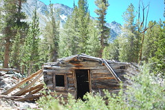
Mexican Mine and Methusulah Trail: 5.6 miles, 826 feet elevation gain


Sequoia National Park
Muir Grove: 4 miles, 541 feet elevation gain


Kings Canyon National Park
Mist Falls: 9.21 miles, 800 feet elevation gain


Death Valley National Park
Wild Rose Peak: 8.3 miles, 2473 feet elevation gain


That’s over 172 miles hiked and 31,774 feet climbed. I’m saving a number of the Yosemite hikes for September, once the tourist traffic dies down. Expect me to add many more hikes to the list!

Follow along on Instagram @kasmirakit #yosemitechronicles

Wednesday, February 24, 2016

Brazzle Dazzle Day

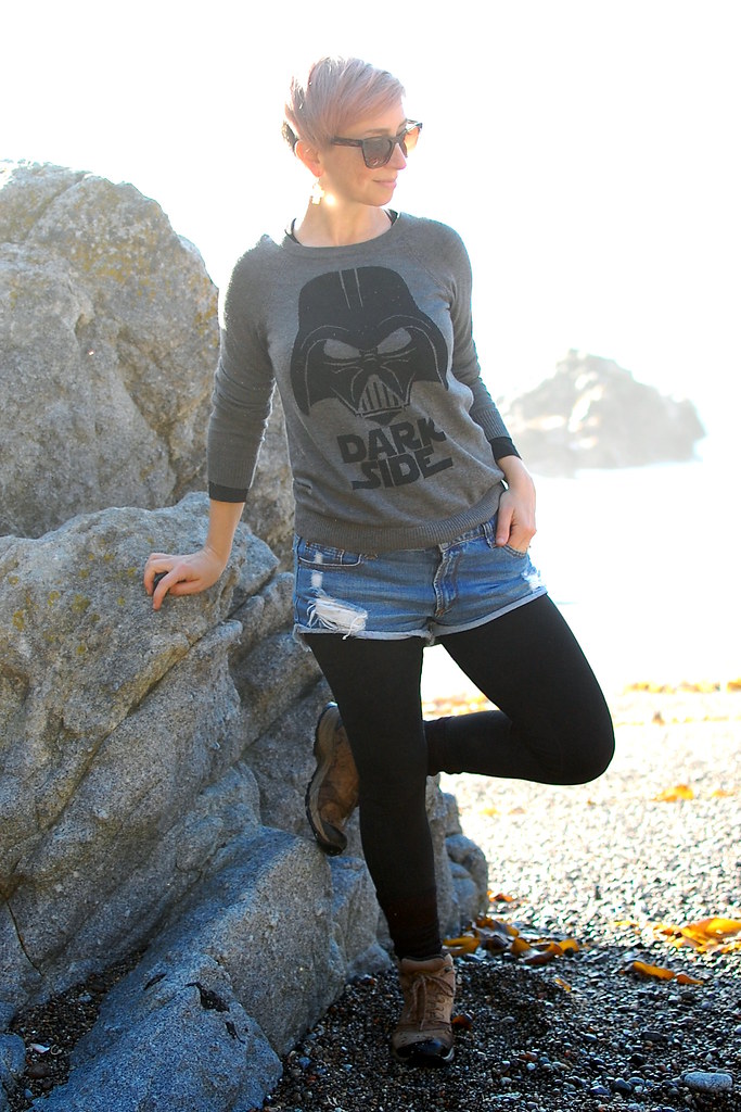
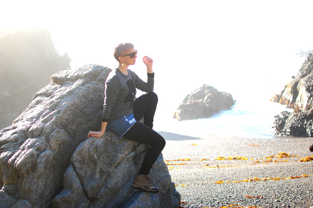
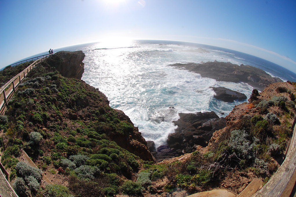
I don’t normally dress cute for a hike, but this was more a hybrid outfit. It was my drive-to-Carmel/meet-Beefy’s-coworkers/explore-Point-Lobos outfit. And I managed to hike 8 miles in it.


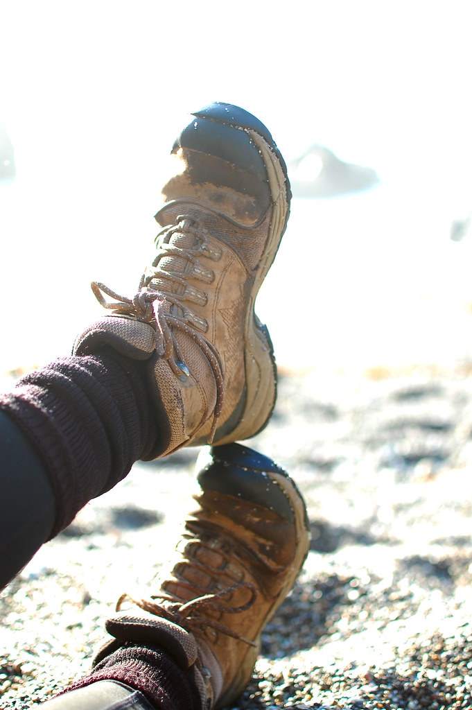
Sweater, Forever 21 (thrifted). Shorts, Forever 21. Leggings, C9. Boots, La Sportiva. Earrings, Pangaea. Sunglasses, Meow Meow. Bag, Mountainsmith.


I had an incredible time at Point Lobos. The skies were clear and the air was warm. I saw seals, sea lions, deer, pelicans, cormorants, and lizards. The sea was especially spectacular with a high tide and surf. It was a brazzle dazzle day*!


*I was singing Pete’s Dragon songs all day.

Monday, September 28, 2015

40 B4 40: Hike Half Dome


“This is the hardest thing I’ve done in my life.”

I laughed at the pale, sweating, panting creature who uttered that sentence. He was struggling up the slick granite of Half Dome, clinging to the cables for dear life. I was sailing down the same cable route. I was lean, brown, and strong. I’d spent the summer in the Sierra sun, sometimes covered in nothing more than a thin layer of DEET oil. I slept at 8000 feet and hiked miles a day at higher altitudes for the National Biological Service. I spent my weekends bagging peaks. The hike to Half Dome’s base had been long, but not overly strenuous. The cable route up its steep backside was fun: a diversion from the boring, dusty miles between the Merced river and the ropes. My friends and I had raced up the dome, lazily surveyed the top, and made a game of sliding back down. I was twenty years old and on top of the world.

After spending a glorious summer living and working in Yosemite, I never returned. I bounced around from Washington to Alaska to Arizona to Virginia to North Carolina to Japan to Ohio before I realized how special my Yosemite experience had been. When I planned my 40 adventures for my 39th year, hiking Half Dome was the fourth one I listed. It represents the freedom and power I felt during my Yosemite summer. Returning, 19 years later to repeat the hike, required that I reclaim both.

In the years between my summer in Yosemite and my return to California, the park put a quota on the number of hikers permitted up Half Dome’s cables each day. A maximum of 300 persons are allowed up each day to protect wilderness character, reduce crowding, protect natural and cultural resources, and improve safety.The permits to hike are issued in a preseason lottery with an application period of March 1 to March 31. However, in 2015, I missed the lottery.

Thankfully, a daily lottery is held during the hiking season with up to 50 permits up for grabs each day. Potential hikers apply two days before their hoped-for date and are notified late on the day of the application. The competition for spots is less fierce on weekdays, so, in early September, I identified a number of dates in September and October and planned to apply repeatedly until I was successful.

I have no luck in games of chance. I am never a Bingo winner. I don’t even bother with Powerball or Scratch-Offs. I’ve never won a raffle. But I won the very first Half Dome permit for which I applied!

It takes 10-14 hours to complete the hike. Depending on the route, the trek is 14.2 or 16.5 miles, but a 4800 foot elevation gain either way.
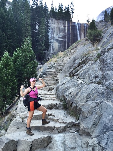

The first 1.5 miles of the trail are paved, but steep. Here, the trail looks deceptively like a sidewalk, but the grade is no “walk in the park.” To make the shorter, 14.2 mile hike, I took the left fork and followed the Mist Trail up hundreds of stone stairs past Vernal Falls and then Nevada Falls. Finally, after the exhilarating, 2,000 foot climb, above both falls, I was at the Merced River and the final junction with the John Muir trail.

The Merced is the halfway point between Happy Isles and Half Dome and the last reliable source of water. I pulled out my filtration system and topped off my bottles. I was as prepared as possible for the next dusty, dry four miles to the cables.
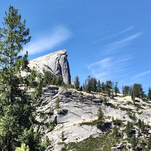

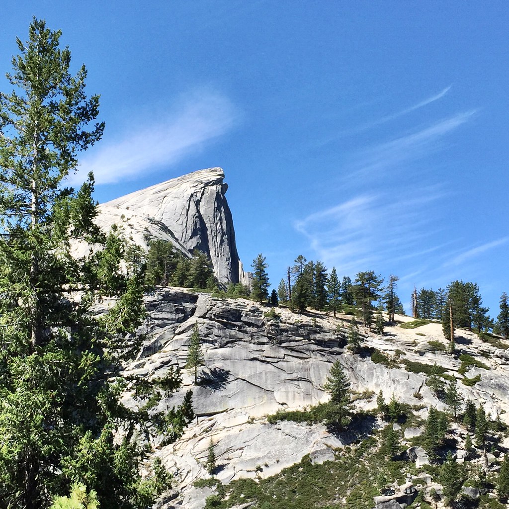
The march to the base of the dome from the river is incredibly boring, enlivened only by glimpses of the destination. After an uneventful, flat trek along the river, the route begins endless switchbacks up the forested hump that butts up against the backside of the granite dome. I entertained myself by passing and being passed by the other hikers and sniffing the Jeffrey Pine. (Stick your nose in the crevices of a Jeffrey Pine’s bark and inhale. The sap smells like butterscotch or vanilla.)

I finally reached the permit checkpoint a little before noon. I presented my permit to the ranger and walked onto the dome.

The first portion of the granite walk is not the cables, but terrifying, nonetheless. Stone stairs switchback up the first hump. There are no guardrails. The steps are narrow, uneven, and often covered in a fine layer of coarse sand. A misstep here can send the clumsy hiker down a steep, sometimes sheer, rock slope. I’m just such a clumsy hiker and slipped a few times, but recovered before falling from the trail. Finally, the path just disappears, but I knew to follow the naked rock up to its zenith. From there, I could see down the false summit to a depression and the start of the cable route.

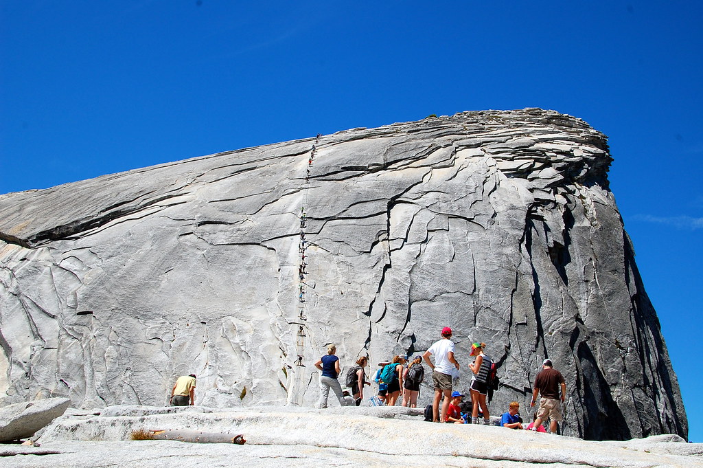
As I stared at the ant-like figures hauling themselves up the cables, a hiker passed me, on his way off the dome. He was removing leather gloves and I suddenly realized that dragging my hands up the steel cables for 400 vertical feet would leave my palms absolutely raw. The hiker saw my panic and assured me that there was a pile of gloves ahead.
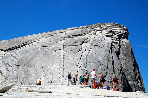

I reached the base of the cables and, indeed, found a pile of gloves in a rock cranny. Always the fashionista, I chose a turquoise pair of gardening gloves with a mod flower pattern in hot pink and chartreuse. The palms were coated in a grippy, clear rubber. I pulled the first one on and discovered it was damp with the previous wearer’s sweat. I decided this was a lucky sign and donned its mate. I stepped into the cable route with preperspired hands.


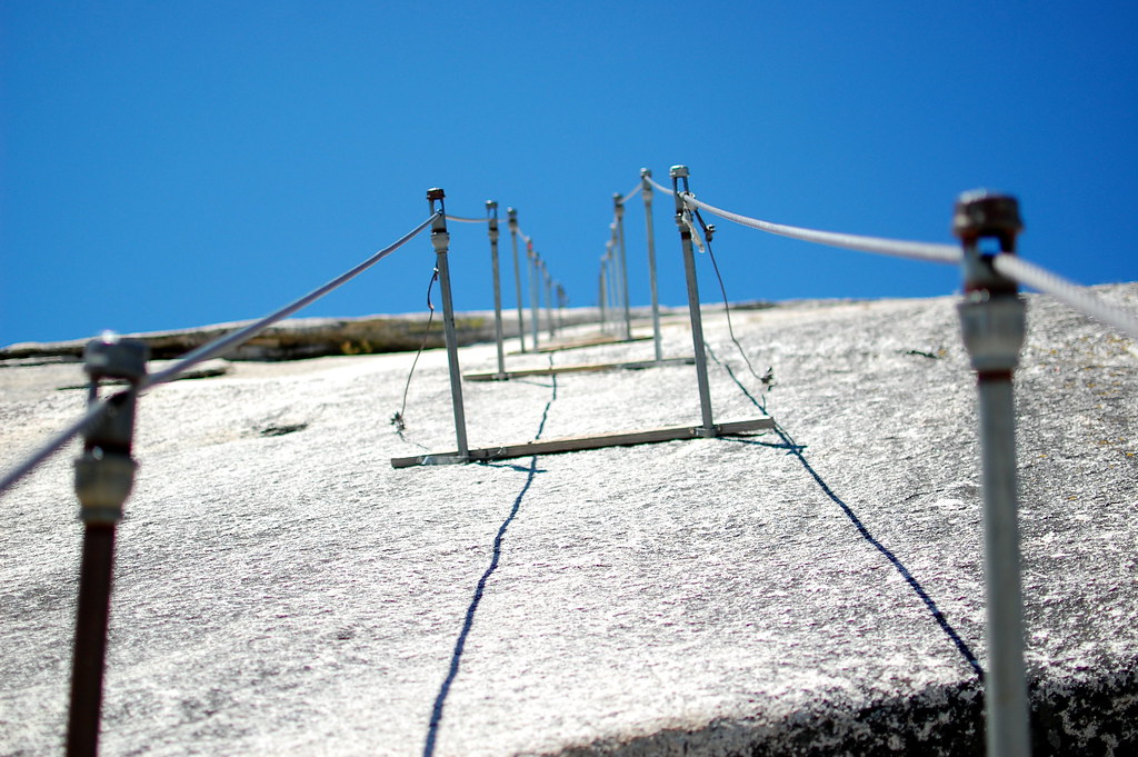
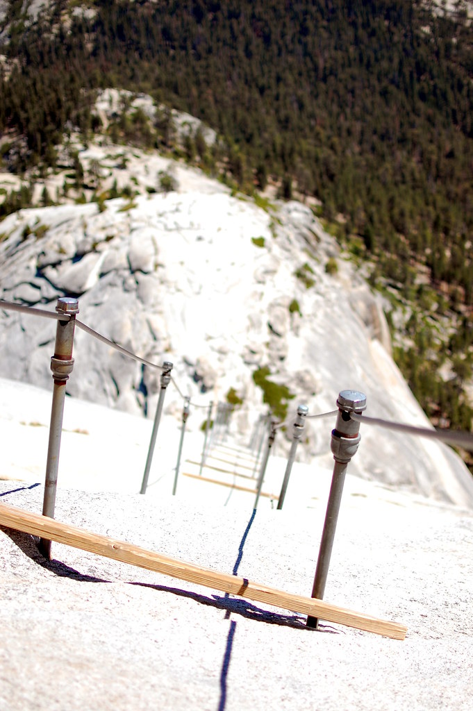
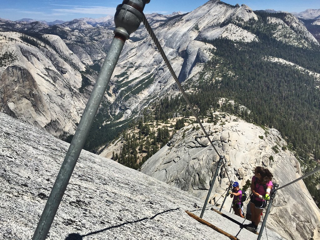
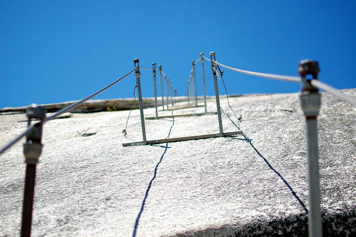
The cables are steel and run from anchors in the rocks, through the tops of poles set roughly every ten feet up the slope. The cables function as both handrails and climbing aids. The rock surface is glacier-polished granite, shiny-slick in most places, but cracked and rough in a few others. Wooden planks are anchored at every set or every other set of poles. These offer a place to rest and catch one’s breath or simply allow another hiker to safely pass. The rock itself is usually too slick and steep to comfortably pause.

The excitement of finally reaching the cables spurred me to an energetic start. No hikers were ascending close ahead of me (but some were descending), so I had little impediment to my quick pace. I fully trusted my gear (to include the borrowed gloves), my abilities, and the cables themselves. I was halfway up the rock before my arms began to shake.

I had been hauling myself up, with a hand on a cable to each side, with tremendous effort. I was in a rocking side-to-side rhythm, smoothly transitioning to a hand over hand on a single cable when passing another hiker. As I gained altitude, I was grateful for the muscles built by swimming and T25 . . . until my adrenaline burst petered out and I realized that if my arms gave out on me, I’d be dead.
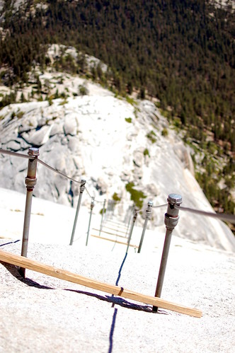

I paused on the next wooden plank, terrified and shaking, and wondered, “Is this the hardest thing I’ve ever done?” Certainly not. “Am I a fool for hiking this alone?” Perhaps. “Will I be able to continue?” Yes. And I did. The shaking steadied. My arms did not fail. And, thankfully, no smug 20-year-old passed me during my moment of panic.

I made steady, but steadily slower, progress up the cables. Although I no longer had fears about my arms collapsing, my breaths were ragged. For the last 25 yards, I paced myself by pausing at each plank for 5 breaths before continuing on. At last, I crested Half Dome.
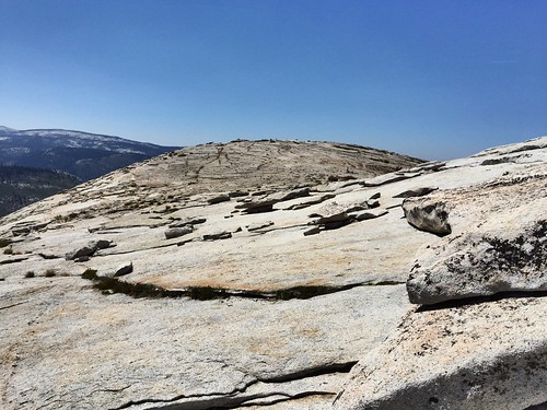

Like the hikers before me, and those I saw summit after me, I spent the next fifteen minutes roaming the top of Half Dome in a daze. The top is remarkably featureless. The views are remarkably astounding. Framed by nothing but man-made cairns, the 360-degree vista is unreal. The blue sky, gray stone, and green trees visible in every direction have the soft quality of a watercolor. The occasional chatter of a hiking group and the tug of a breeze is the only reminder that the experience is real, not a painting or a dream.

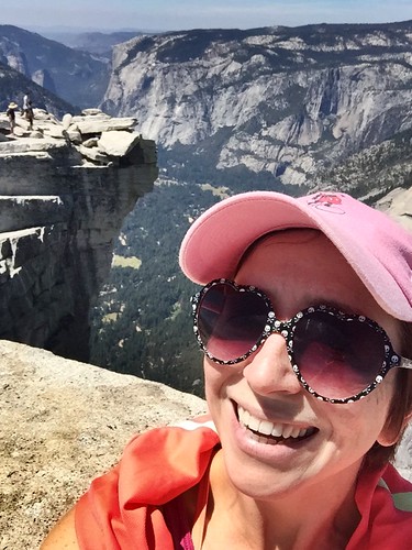
Most hikers congregate along the visor, the lip of stone hanging over Half Dome’s severe northwest face, towering over Yosemite Valley. I ate my sandwich gazing into the valley’s blue depths. I chewed as I contemplated hikers dangling their legs over the edge while their friends snapped pictures. I contented myself with a selfie a safe-ish distance from the edge. For an extra thrill, I belly crawled to a sheer drop and looked down. As terrifying as the cable route may be, the thought of climbing the sheer face puts that experience to shame.

Before descending, I waited for a small group to finish the cable ascent, cheering them on with my own experience still fresh in my memory. Then, I began sliding down with abandon.
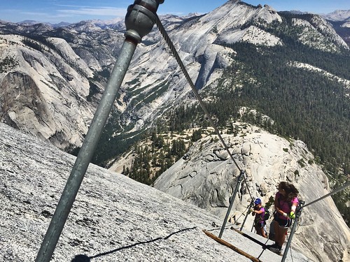

I imagine that I descended with the same sense of joy that I had when I was twenty. Facing uphill, letting my sassy gloves take the friction, I almost ran backwards down the hill. My hands began to heat through the layers of plastic and fabric. I made a game of seeing just how fast I could go, stopping only to let others ascend and speak words of encouragement. As another hiker passed me, he bumped against my camera and my lens cap went pinwheeling down the steep curve. It was lost to the dome and so was I as I resumed my downhill sprint. I paused at a plank to allow an uphill hiker pass and he said, “This is the hardest thing I’ve ever done.” I didn’t laugh. I just nodded in understanding and told him that the view was totally worth it.
Sunday, January 11, 2015

Sporty Sunday - Hiking Shingle Falls

Beefy and I completed this hike almost two years ago, just weeks before Jasper arrived. As we walked, we imagined what it would be like to have a dog with us. I would never have predicted that I would return to hike to Shingle Falls with two dogs!

This popular, easy walk is known for the falls at the end of the trail, but I like it best for the scenery along the way. The road (and later actual trail), winds through some of the prettiest, oak-dotted, rolling pasture in Northern California. This hike is best in the wet season, when the grass is green and lush, the falls are thundering, and the brooks are babbling.


The falls themselves are impressive, but dangerous. A chain link fence borders the worst of the drop-offs, but it has been bent to barely waist high in places. After craning your neck over the edge, I recommend walking downstream to one of the smaller falls and calmer pools for a break.

The route is fairly straightforward. A dirt road, ending in a gate, marks the first half of the route. Shortly after passing the gate, and entering the meadow, the hiker has a choice of three routes to the falls: the upper loop, the lower loop, and a dirt road. Top Trails Sacramento recommends taking the upper loop to the falls and the dirt road on the return. The upper loop is initially steep, but soon levels to a narrow track along the side of the ridge. On the return, the road will take one along Dry Creek with plenty of opportunities for doggy dips.

Please note that hunting is permitted in this area from Sept 1 to Jan 31. We heard many shots while hiking but no hunting activity took place along the walking route.

Source: Evans, Stephen L. "Shingle Falls Trail: Spenceville Wildlife Area" Top Trails Sacramento. 4th ed. Birmingham: Wilderness, 2012. Print.
Length: 4.9 miles.

Water: Dry Creek flows all year. In January, the tributary streams were flowing as well.

Use: Heavy.

Differences from published description: None.

Jasper’s rating: 4 paws out of 5.

Sporty Sunday is a recurring feature in which I share my fitness routine and offer and solicit advice. While this content might seem a little out of place in an outfit diary, a healthy, strong body is the foundation of my wardrobe. I hope to inspire my readers to be fit as well as stylish!

Sunday, January 04, 2015

Sporty Sunday: Hiking Blue Ridge Trail

This is the third time I’ve made the 2100 foot climb up Blue Ridge and it still makes my legs ache for days afterwards. Top Trails Sacramento gives this a difficulty rating of 5 (out of 5) and my friend Jerry calls it “the death march.” I was hoping for a little holiday penance and a tired puppy. I got both.

This is a popular off-season hike because it’s accessible all year long (except after strong rains). In the summer, I hear it really is a “death march” because of the exposure and steep climb. If you do visit in summer, I recommend a leisurely walk up Rayhouse Road, instead, and then a return to Cache Creek for a cooling dip.


The 2.69-mile climb to the top of Blue Ridge (and the junction with Fiske Peak Trail) takes you from dense forest at the bottom to sparse chaparrel (and plentiful boulders) at the top. Although the grade is challenging the views open up by the time you might consider giving up. Others I’ve talked to don’t consider this trail finished unless they’ve hiked the additional mile south, along Blue Ridge, to Fiske Peak. Personally, I think the views from the ridge itself are amazing.

This is a great trail for dogs, but use caution. The trail is narrow and there are many blind corners. It can be difficult to pass non-dog-loving hikers and easy to surprise both dogs and peoples at turns. (I’ve had two bad experiences here when a dog ran ahead and scared itself and the oncoming hiker at a blind corner.) There are steep drop-offs that are dangerous for both dopey mutts and unattended children. The trail is mostly dry and always steep so bring water for the humans and canines.

Source: Evans, Stephen L. "Blue Ridge Trail" Top Trails Sacramento. 4th ed. Birmingham: Wilderness, 2012. Print.

Length: 5 miles.

Water: Cache Creek (actually a river) flows year round. This excursion was the first time I’d seen Still Gulch flowing. Generally, the hike is dry after the first half mile and you should bring plenty of water for yourself and your animal companions.

Use: Moderate to heavy. The grade discourages some folks, but others come for the views and free access.

Differences from published description: None.

Jasper’s rating: 4 paws out of 5.

Sporty Sunday is a recurring feature in which I share my fitness routine and offer and solicit advice. While this content might seem a little out of place in an outfit diary, a healthy, strong body is the foundation of my wardrobe. I hope to inspire my readers to be fit as well as stylish!

Sunday, November 16, 2014

Sporty Sunday: Hiking Castle Pass

The hike to Castle Pass, along the Pacific Crest Trail, just gets you started on the path to explorations in the Castle Peak area. But even as a simple, 6.72-mile out and back, it’s a lovely walk through glacier-scraped granite, soaring conifers, and flower-filled meadows (in season, of course). From Castle Pass, the views are outstanding. November timing brings chilly temps and the chance of ice and snow, but it also discourages other hikers from this easily-accessible trail, leaving a wilderness experience for the intrepid.

Top Trails directs the hiker to the Boreal-Pacific Crest Trail parking area to begin the hike, but a permit is required November 1st to May 30th. A permit costs only $25, but the fine is $94.50. Those without a permit can chance parking at the east or west bound rest areas, as the trail wraps around both. (Starting at the west bound rest stop cuts off a little more than a mile from the hike.)


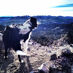
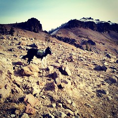
We started at the west bound parking area and made it to the pass in an hour. With plenty of energy to spare, we headed for Castle Peak (pictured in the fourth photo). However, strong winds and occasional icy patches discouraged me from going further than the little peak on the left. We’ll have to try again in the summer.

We will definitely be back to this area. I’ve previously hiked a couple of other trails, starting at the Boreal-PCT lot, and enjoyed the scenery and ease of access. None of my hiking books adequately cover the Tahoe National Forest trails along I-80, so I ordered a map for explorations next year!

Source: Evans, Stephen L. "Pacific Crest Trail: Castle Peak Area." Top Trails Sacramento. 4th ed. Birmingham: Wilderness, 2012. Print.

Length: 6.72 miles

Water: The trail to Castle Pass skirts a few small lakes, small streams, and the significant Castle Creek. The lakes and Castle Creek still had water in November, despite low precipitation.

Use: Heavy in the spring, summer, and winter (snowshoeing and cross country skiiing are popular here). Light usage in late fall.

Differences from published description: A Sno-Park pass is required to park in the trail lot November 1st to May 30th..

Jasper’s rating: 4 paws out of 5.

Sporty Sunday is a recurring feature in which I share my fitness routine and offer and solicit advice. While this content might seem a little out of place in an outfit diary, a healthy, strong body is the foundation of my wardrobe. I hope to inspire my readers to be fit as well as stylish!